

Geospatial, Demystified: If Bats Can Hear Shapes, Why Can’t GIS Be Sim...
Bats can hear shapes. Bees? They dance maps. And humans? We’ve been navigating the earth with style and flair since we could stand upright. Earth itself is a masterpiece of...

GIS, Simplified: Built for Users, Not Specialists
GIS (Geographic Information Systems) has long been a game of gatekeeping. For millions of indirect users, it’s like trying to crack a safe without the code: frustrating, overly complex, and...
Rewriting the Rules of Geospatial Tech: The Secret to Simplicity
At Fuse.Earth™, we don’t just accept things as they are—we challenge the status quo. And when we looked at geospatial complexity, we saw a problem that everyone else had learned...

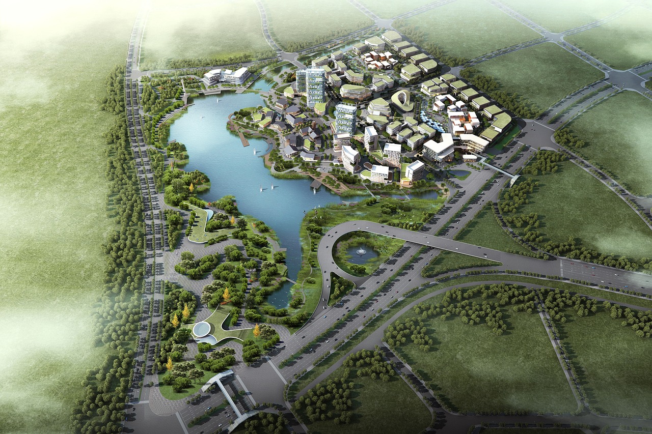
Improve Site Orientation and Terrain Analysis for Sustainability
In the process of urban planning, construction, and environmental assessments, understanding the site’s terrain and its orientation is a critical part of making informed, sustainable decisions. The Compass Tool in...

Earthquake Risk Assessment for Urban Infrastructure Planning and Safet...
Urban planners often face the challenge of selecting safe sites for infrastructure, especially in areas prone to earthquakes. Accurately assessing the earthquake risk of a site can prevent costly damage...

Georeferencing for Conservation: Enhancing Environmental Awareness
Emma, a conservationist, is tasked with restoring a community park that houses endangered species. To ensure the restoration aligns with sustainability goals, she must accurately map out the park’s ecosystem...

Minimize Ecological Impact: Protect a Local Forest in the Path of Urba...
Meet Claire, an environmental consultant working with her city to design an eco-friendly transportation project. The city is planning a new road that, if constructed as proposed, will cut through...
Geopad™: Transforming Geotechnical Data Management Like Never Before
In the world of geotechnical engineering, data is king—but managing it? That’s where things get tricky. Enter Geopad™, the ultimate data wizard in the Fuse.Earth ecosystem, designed to revolutionize the...
Locate and Create New Site Information
Meet Alex, a Geotechnical engineer working on a critical infrastructure project in a rapidly developing urban area. The local government has approved new construction, but there are concerns about the...

Fuse.Earth™: Reimagining GIS for the Empowered End-User
In a world dominated by data, geospatial insights have become the key to smarter decision-making. Yet, for many, geographic information systems (GIS) have remained complex, cumbersome, and inaccessible. Navigating layers...