

Unveiling the Power of Spatial Intelligence: Answering the Questions t...
In today’s data-driven world, geography isn’t just about maps; it’s about making informed decisions that shape our future. Whether you’re a business owner, a farmer, or an urban planner, spatial...

Mapping-as-a-Service (MaaS): Revolutionizing Spatial Intelligence with...
In today’s data-driven world, every decision—from urban planning to environmental conservation—relies on understanding the “where” of things. Geospatial technology has become a critical backbone for industries ranging from agriculture and...

Fuse.Earth™: Revolutionizing GIS—Simplifying the Complex, Empowering t...
Let’s cut to the chase—traditional GIS tools are like outdated treasure maps: convoluted, hard to read, and often leading to frustration rather than solutions. With multiple formats, scattered workflows, and...

Geospatially Ready? Let’s Cut the Chaos and Bring the Flair.
Multiple files, multiple formats, multiple versions, multiple tools, multiple licenses… geospatial data management is like walking a tightrope blindfolded while juggling flaming torches. One misstep, and you’re tumbling into a...

Geospatial, Demystified: If Bats Can Hear Shapes, Why Can’t GIS Be Sim...
Bats can hear shapes. Bees? They dance maps. And humans? We’ve been navigating the earth with style and flair since we could stand upright. Earth itself is a masterpiece of...

GIS, Simplified: Built for Users, Not Specialists
GIS (Geographic Information Systems) has long been a game of gatekeeping. For millions of indirect users, it’s like trying to crack a safe without the code: frustrating, overly complex, and...
Rewriting the Rules of Geospatial Tech: The Secret to Simplicity
At Fuse.Earth™, we don’t just accept things as they are—we challenge the status quo. And when we looked at geospatial complexity, we saw a problem that everyone else had learned...

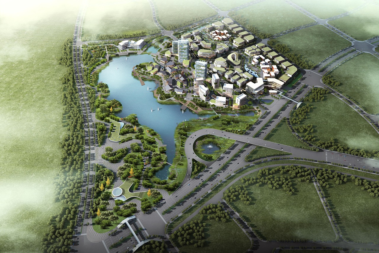
Improve Site Orientation and Terrain Analysis for Sustainability
In the process of urban planning, construction, and environmental assessments, understanding the site’s terrain and its orientation is a critical part of making informed, sustainable decisions. The Compass Tool in...

Earthquake Risk Assessment for Urban Infrastructure Planning and Safet...
Urban planners often face the challenge of selecting safe sites for infrastructure, especially in areas prone to earthquakes. Accurately assessing the earthquake risk of a site can prevent costly damage...

Georeferencing for Conservation: Enhancing Environmental Awareness
Emma, a conservationist, is tasked with restoring a community park that houses endangered species. To ensure the restoration aligns with sustainability goals, she must accurately map out the park’s ecosystem...