

Restoring Wetlands with the Power of Fuse.Earth™ and MaaS
Wetlands play an essential role in maintaining ecological balance. They act as natural water filters, flood controllers, and biodiversity havens, all while sequestering carbon. However, their survival is under threat...

Unlocking Econometrics Insights with MapSolGeo.com, Fuse.Earth™, and M...
Econometrics—often referred to as the bridge between economic theory and real-world data—is a powerful tool for understanding complex relationships in economics. From forecasting market trends to studying resource allocation, econometrics...

Revolutionizing Soil Analysis with MaaS and Fuse.Earth™
In geotechnical engineering, understanding soil stability is the foundation of every successful project. Whether it’s a high-rise in an urban center or a rural road, misjudging soil conditions can lead...
Unlocking Real-World Solutions with Mapping-as-a-Service (MaaS) and Fu...
Imagine standing in a rapidly urbanizing town, watching neighborhoods expand, roads crisscrossing, and industries growing—all while climate change looms as a stark reality. Now imagine having the ability to visualize...

A Fresh Start: Tackling Flood Control in Texas with Geopad™
Flood control in Texas is a critical challenge, especially in areas prone to unpredictable weather and rising water levels. Mapsol has recently partnered with local stakeholders to address these pressing...

Mapping the Future of Clean Water: A Geospatial Solution for Water Con...
In a semi-arid region plagued by water scarcity, limited infrastructure, and environmental degradation, the local government faced the monumental task of managing and conserving the region’s rapidly diminishing water resources....

Aerial Insights: Transforming Environmental Impact Assessments with Ge...
In the heart of a large-scale environmental restoration project, a leading multinational company, EcoSolutions, was tasked with evaluating the environmental impact of a proposed development on a sensitive wetland area....

Restoring Balance: How MapSol’s Geospatial Expertise Brought Lan...
Meet Aaron, a project manager for a global environmental organization tasked with leading a large-scale reforestation project. The goal was ambitious: restore 20,000 hectares of degraded land across multiple regions,...

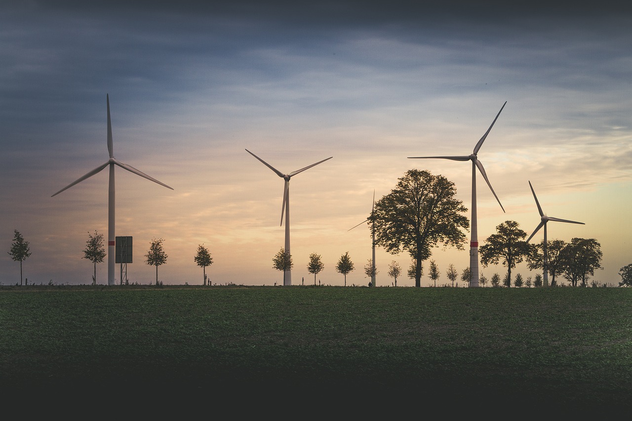
Understanding the Role of Carbon Sequestration in Combating Climate Ch...
As the world grapples with the escalating impacts of climate change, carbon sequestration has emerged as a pivotal strategy for mitigating greenhouse gas emissions. By capturing atmospheric carbon dioxide (CO₂)...

Tackling Carbon Footprint Challenges with Mapsol
Clara, the sustainability manager of a multinational manufacturing company, has a mission: to reduce her company’s carbon footprint across its global operations. The stakes couldn’t be higher. Consumers are demanding...