The digital age is transforming the word “map” from "a sheet of canvas" to mean "an elaborate information system", called GIS. But with clunky tools and cumbersome practices, conventional GIS remained a niche and inaccessible technology. Mapsol is changing this; we are building a transformational platform to demystify and democratize GIS.

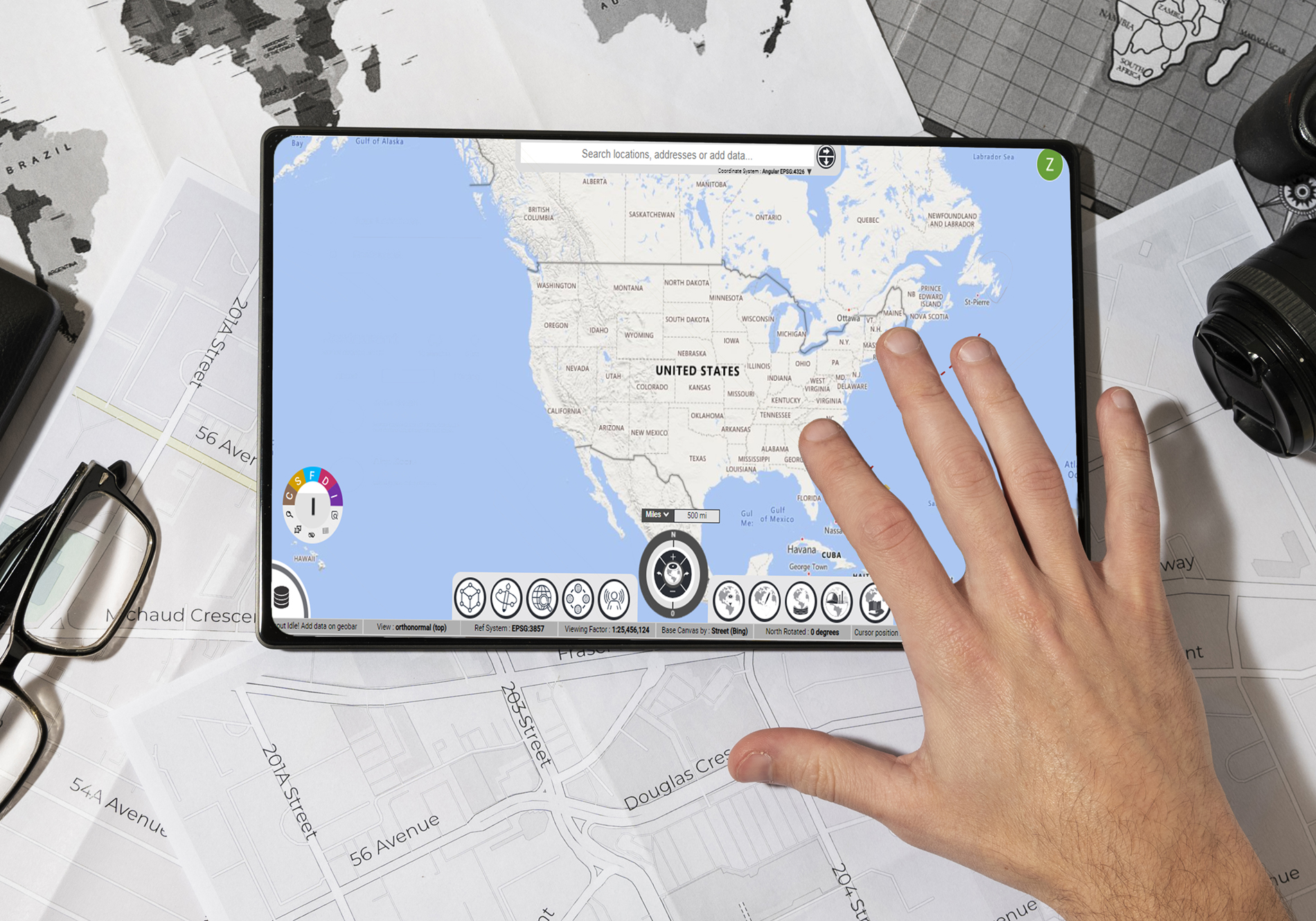
If a picture is worth a thousand words, a map is worth volumes of text and graphs.

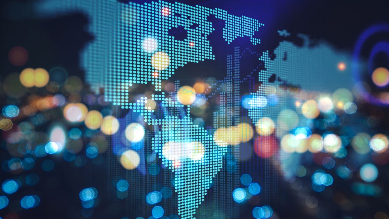
A geospatial revolution is in the works. A new learning is emerging that all digital data we humans handle pertains to some aspect of earth-based objects and processes. For us at Mapsol, all that is digital about the earth is “geospatial”. We maintain that geospatial readiness is integral to the ongoing fourth industrial revolution. Routing and delivery apps have made maps and map-based apps commonplace. People and organizations interested in location-based or geospatial answers, information, decisions, and tools are increasing by the day, by the hour. We are among the flag bearers of this shift. We strive to enhance geospatial awareness of all stakeholders with every solution we implement.

Mapsol has been at the forefront of this geospatial revolution. Our fresh and innovative take on making and using geospatial technologies is groundbreaking at many levels: from rebuilding the backend data structures to reimagining the user-interfaces and geospatial workflows. We are passionate about transforming all data into meaningful spatial contexts and pushing the boundaries of what geospatial solutions can achieve. We serve clients with simple to advanced geospatial problems. We built a transformational technology platform for demystifying and democratizing GIS.

Albert Einstein had long pointed out how the space/time was understood as a collection of known objects in the pre-scientific era and how it had slowly transitioned into an understanding that the space/time fabric is an absolute continuum interspersed with objects. This simple yet profound principle about the human understanding of the space/time fabric is fundamental in making and implementing geospatial technologies at Mapsol.

Dr. Kiran Manchikanti

Our Team

team member

Kiran

is a diligent and enthusiastic geospatial professional and a philosophical personality. Kiran presents with 23 years of geospatial experience. He is a proud badger (a UW-Madison graduate) with rare innovations in space/time data models and geospatial optimization. Kiran conceived and concept-designed the Fuse.Earth platform end to end.

Dr. Kiran Manchikanti
CEO & Founder
team member

Rakesh

is a seasoned professional in Strategy and Operations Planning with a strong background in leveraging analytics to improve efficiency and profitability. He is a serial entrepreneur with a proven track record of business leadership. He excels in data analysis, process optimization, cost reduction, and performance metrics.

Rakesh Mopidevi
Co-Founder and COO
team member

Rajini

drives the end-to-end development efforts behind the scenes and manifests the Fuse.Earth experience. He is a full-stack developer himself.

Rajinikanth Radhandi
Technology Lead
team member

Saranya

is Mapsol's spokesperson. She spearheads awareness and marketing initiatives focused on cultivating brand visibility through awareness campaigns.

Saranya Avasarala
Awareness Lead