Being able to communicate with our people instantly for an immediate need was a far cry at one time. People traveled for days or sent messengers just to convey one piece of information. Now, the whole world is abuzz with instant messaging and became a lot closer and tightly knit. We are able to stay connected, respond, and resolve issues promptly. Yet we have umpteen global issues to grapple with. Our current issues are more global requiring us to become more aware of our actions and our influences on each other (people, communities, or nations) as a whole ecosystem. Our questions include personal to national issues like environmental repercussions of our farming practices, traveling without compromising community health, data intelligence for business expansion so on and so forth.
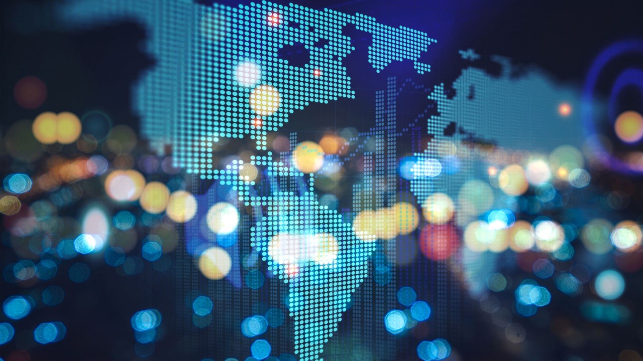
Most of our collective issues are based on location and location-based information and analytics directly or indirectly. We have a variety of data acquisition systems from humungous satellite systems to personally owned drones vesting us with more and more geospatial information. However, utilizing the dynamic geospatial information that is ever changing to make the most prudent decisions from individual level to the governmental policymaking is still a very cumbersome process. The process involved in crunching geospatial data into decision information is fairly complex and time-taking. Engineers and other professionals handling earth-related activities on a daily basis would completely understand this. Homebuyers looking to build off-the-grid homes or urban garden homes would also readily concur. Collecting field data, overlaying it with other site and regional layers, verifying current and historical satellite imagery, understanding the topographic relief of a site for solar panels, or putting together a site plan to get the right kind of government permits are all still slow and archaic processes.
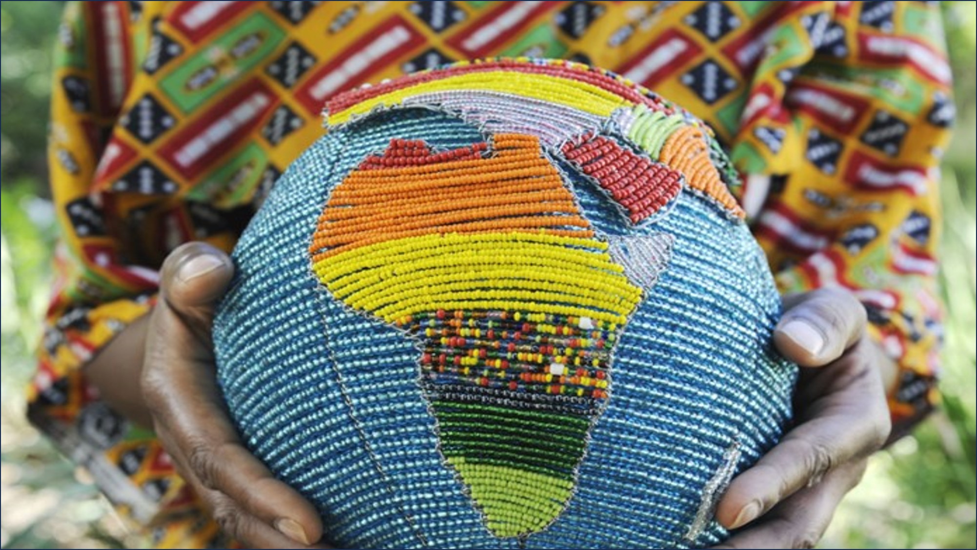
Empowering the end user with geospatial mapping abilities is at the core of creating a collective awareness for the overall upliftment of humanity. Fuse.earth is born to implement the simple idea that making geospatial information and analytics easy and available to the end-user is the key. Fuse.Earth empowers the end user with the ability to quickly start a GIS system, locate sites, create, and analyze site-based information, share, and collaborate with clients, colleagues, and friends; be it for remediating environmental damage on a mine site or for installing a new groundwater well in your backyard. We all need a GIS system as simple as the instant messaging technologies that brought us closer together for making more information decisions and performing sustainable actions. Fuse.Earth is here to serve this very purpose.