Single Step Login: user your Gmail account.
WORKFLOW # 4 - ADD GEO DATA AND ANALYZE YOUR SITES
- July 14, 2023
- Mapsol Admin
- No Comments

Click the downward arrow at the right of GeobarTM for multiple options to add Geodata, including your local folders, the cloud, FE sessions shared with you by other users, or external data warehouses (like UCR STAR).

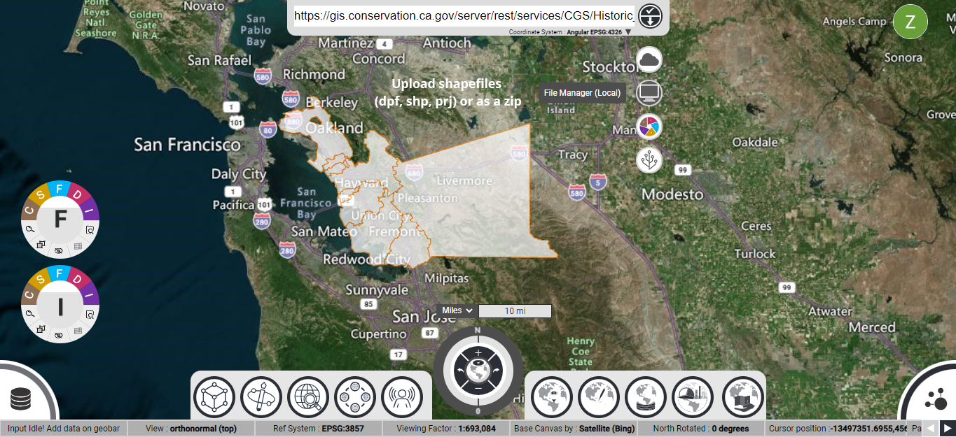
You can add GIS Web APIs as a layer in FE. Simply paste the URL in the GeobarTM and hit the rightward pointing arrow. Above example shows earthquake epicenters in the Western US as served by the state of California.

Click the File Manager (Local) button to open your device file explorer and add Georeferenced JPEGs (.jpg, .jgwx, and .jpg.aux.xml) for your site analysis. Example, showing an overlay of Geology quad stored as JPEG here.

Click the File Manager (Local) button to open your device file explorer and add shapefiles (.dpf, .shp, .prj or as a .zip file), for your Site Analysis. Showing an overlay of parcel boundaries, flood districts, and fault lines as shapefiles here.

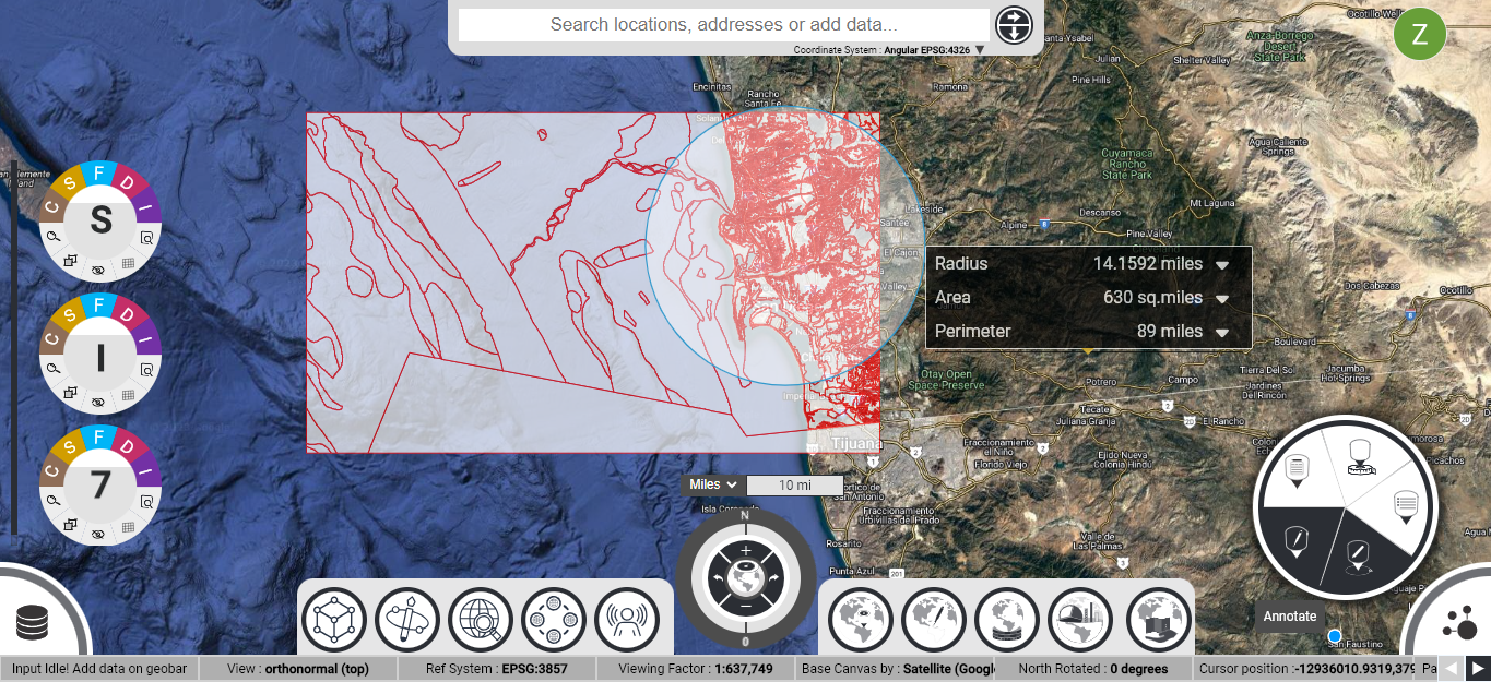
Click at the bottom right corner of the browser window to activate the GeotrayTM and use geometry tool for performing on-screen measurements or Analysis tool to perform a radius search analysis.


